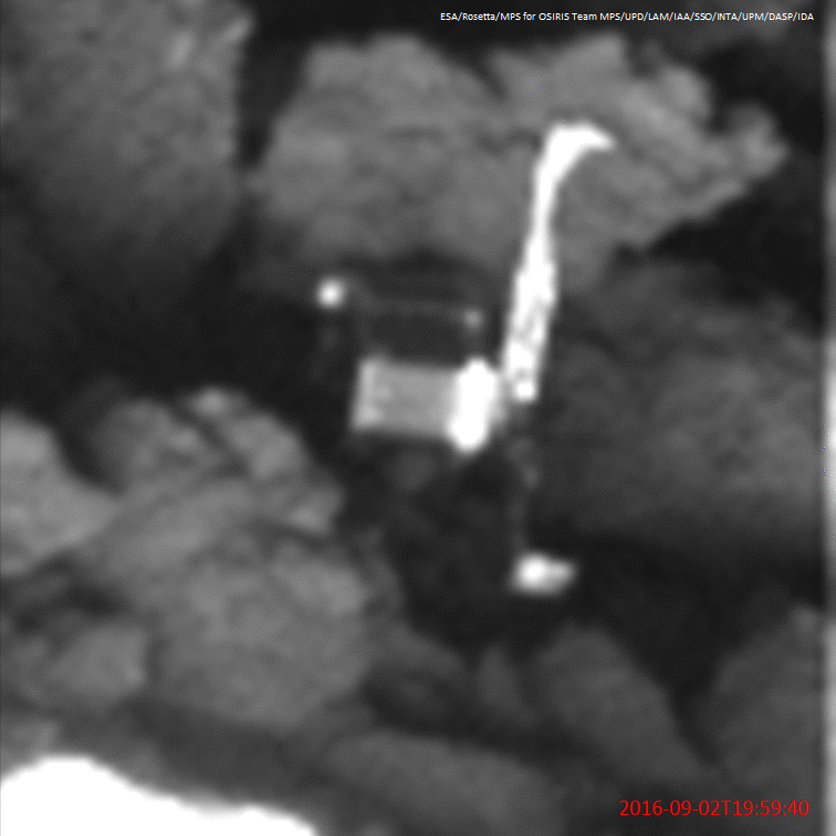
On the 2nd of septembre 2016 the Rosetta OSIRIS NAC camera captured an image of Philae from an altitude of 2,7 km. Here is an animation comparing the real image and a VTS simulation to illustrate each part of the lander on the NAC image and find out the Philae attitude.
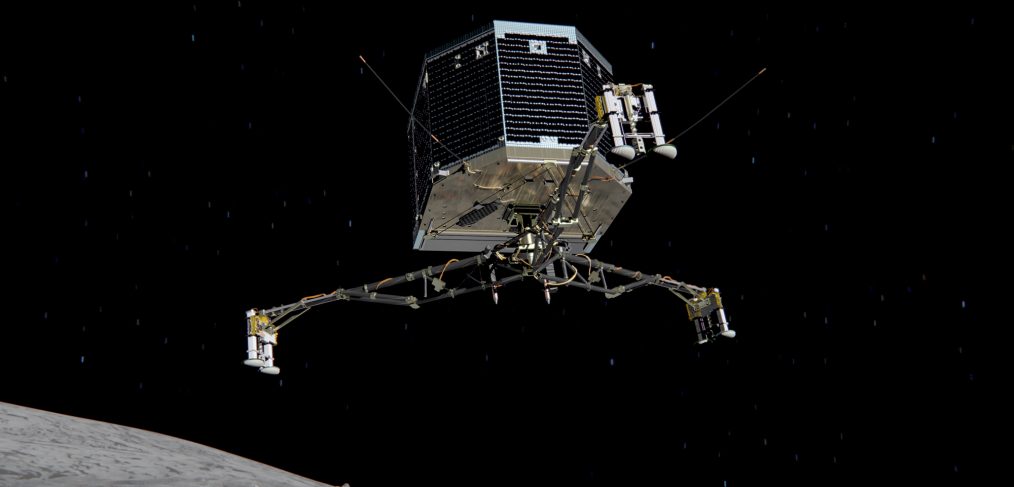
VTS has been involved in the incredible adventure of Rosetta and Philae. Watch this impressive video showing the monitoring of the SDL (Separation, Descent and Landing phase) and FSS (First Science Sequence) operations on Philae. The visualization uses the IMIS tool and VTS.
The 2.7 version of VTS includes improvements from the “DORIS” project contribution. That’s why the full name of this version is VTS 2.7 “DORIS”.
The DORIS project
DORIS (Doppler Orbitography and Radiopositioning Integrated by Satellite) is a Doppler satellite tracking system developped for precise orbit determination and precise ground location. It is onboard the Cryosat-2, Jason-2, HY-2A, SARAL, Jason-3 and Sentinel-3A altimetric satellites. It also flew with SPOT-2, SPOT-3, SPOT-4, SPOT-5, TOPEX/POSEIDON, ENVISAT and Jason-1.
VTS in use
Watch the following videos made by CNES for IDS using VTS.